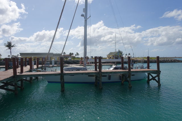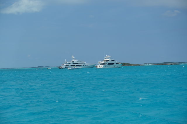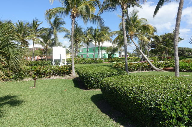
We have been on the move. Making our way to the inside of the southern Bahamas took a few weeks. Working our way out has taken a matter of days. Our route was as follows: Staniel Cay, Sampson Cay, Shroud Cay, Grand Bahama. The longest track was 186 N miles from Shroud to Grand Bahama. This leg took us over the shallow White and Yellow Banks to the west side of New Providence, then north to the east side of the Berry Islands before going NW to Grand Bahama. Amazingly the wind turned to a dead run on each section of the passage. The water between the Berries and Grand Bahama is named the Northwest Providence Channel which turned out to be a very high shipping traffic area. There were dozens of idled cruise ships going in circles at four knots as well as east/west container and tanker traffic. We were constantly adjusting course throughout the night between the lumbering behemoths. Our landfall in Grand Bahama was Ginn Sur Mer, a very protected canal in an undeveloped housing community. This anchorage is not marked on the Explorer Charts and is a secret passed along in the cruising community. We came over to the Old Bahama Bay Marina today because we are required to check out before leaving the Bahamas. We are off to Georgia tomorrow!


